
Ama Dablam Expedition: Everything You Need to Know. One of the most beautiful mountains in the world is Ama Dablam, often referred to as the “Matterhorn of the Himalaya” and situated in the Himalayan range in Eastern Nepal. Ama Dablam is distinguished by its distinctive pyramid form. The name “Ama Dablam” comes from the hanging glacier that can be seen on the southwest face of Ama Dablam, which resembles the holy adornment box used by Sherpa women known as Dablam. 6,812 meters above sea level is the height of this summit. Although this mountain is significant for its looks, not for its height. The Khumbu area of Nepal, south of Mount Everest, is where Mt. Ama Dablam is situated. During the ascent to the pinnacle, one can see some spectacular views.
Table of Contents
TRIP HIGHLIGHTS
- Island Peak (6189 m), Ama Dablam (6810 m), or Lobuche East (6119 m), which is a training peak for acclimatization.
- Route over the south-west ridge, Camps 1 and 2 (maybe Camps 2.9 or 3)
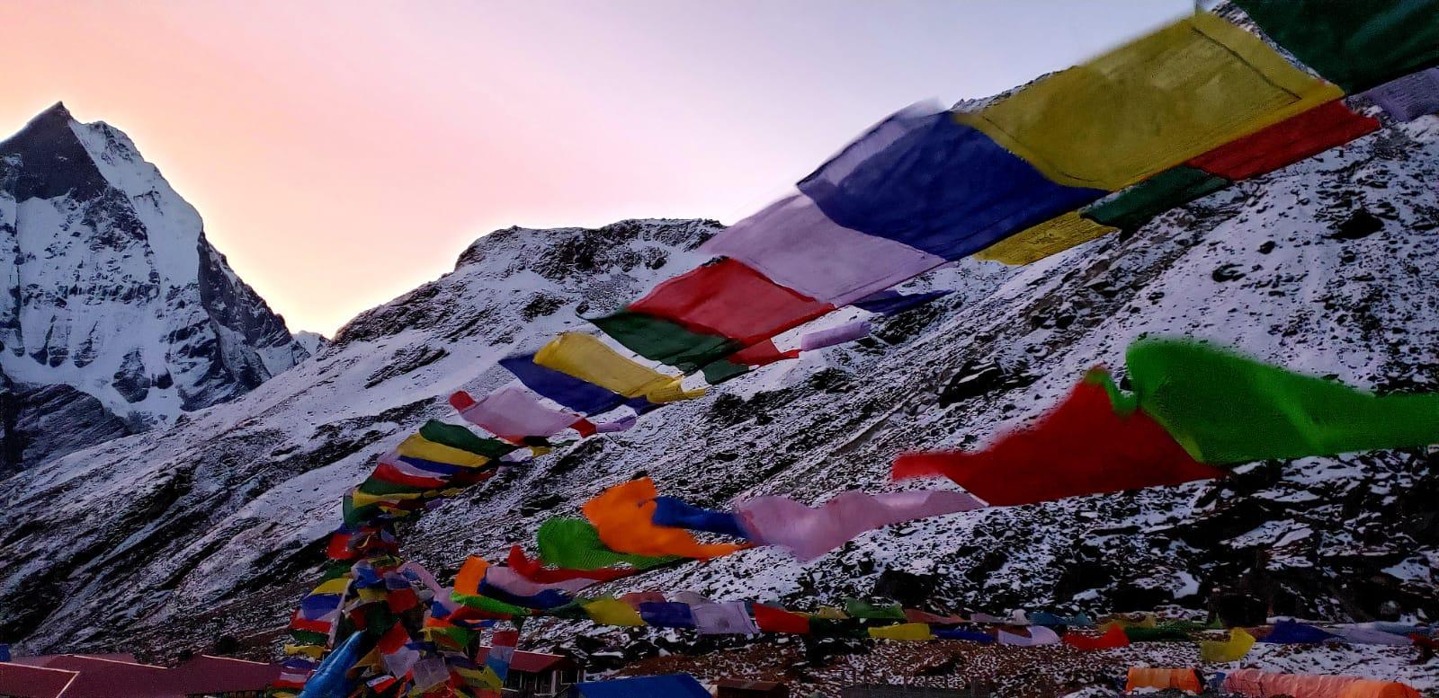
- 10–12 days in Ama Dablam Base Camp, at elevations of 4570 m and above
- the expedition had a guide-to-climber ratio of 1:1.
- Gokyo, Namche Bazaar, and other sights in the Khumbu Valley
DIFFICULTY
Ama Dablam Expedition requires a lot of fitness and strength, as was previously stated, and is not recommended for those without previous climbing expertise. Every member of the expedition has to be capable of climbing on ice and rock. They come through steep, rocky, and ice-coated sections of the trail while ascending. Although the majority of the southwest route is equipped with rope for security and is thought to be avalanche-free, technical climbing abilities are still necessary. Additionally, mountaineers need to train for the adventure beforehand by engaging in activities that would prepare them for low oxygen levels. They ought to do weight training and brisk walks with heavy packs five to six times a week, and generally strengthen their muscles.
It is possible to climb up Amadablam. You must be extremely physically fit and have excellent climbing abilities. During climbing days, clients should be able to care for themselves. It should come naturally to you to eat well, remain hydrated from the beginning of the trip, and ensure that your equipment is in good working order while you are climbing. While your Sherpa will lead and inspire you, much of the work will be up to you and your climbing prowess. For expeditions in the style of the Amadablam, we recommend certain abilities.
FITNESS/TRAINING
For this climb, you must be in great physical condition. Despite the assistance of Sherpa guides and ropes, it is imperative that you are in the greatest shape possible owing to the technical nature of Ama Dablam. You are expected to be able to carry all of your personal climbing equipment because sherpa help is only modest on this ascent. Our group’s equipment will mostly be transported by our Sherpa crews.
Both indoor and outdoor rock climbers should learn the fundamentals of:
- Wearing helmets and harnesses;
- Tying figure 8 and stopper knots;
- Correctly using belaying devices;
- Using ascending and descending devices;
- Using ropes; and
- Learning how to move while using gears and checking the safety features at the same time.
The more experience you have with rock climbing, the more you will be able to become used to your climbing technique and make adjustments while on expedition.
Abseiling. The easiest yet crucial skill to learn is this one. Additionally, multi-pitch abseiling skills and experience are needed.
Climbing on various surfaces. Vertical rocks and slab rocks. climbing up a high hill.
Use of an ice axe and crampons. It is advised to take winter ice climbing or mountaineering lessons. To accomplish a vertical climb, you need to be able to kick step, and balance while using an ice axe on slippery slopes. Being comfortable when descending and abseiling with crampons in all kinds of terrain are three essential ice arrest abilities.
Altitude ascent. As a peak for acclimatization and training, we’ll tackle Island Peak. You should have a solid grasp of how your body responds to high altitude thanks to your earlier climbing experience. It is your responsibility to improve your level of fitness. Our itineraries are created to enable you to acclimatize properly. Clients must also be conscious of their dietary habits and maintain proper hydration.
EXPEDITION STRATEGY
Before heading to Ama Dablam Base Camp, climbing Island Peak or Lobuche East for training and acclimatization is highly recommended. Lobuche East is 6119 meters high and is accessible through Gokyo.
2-3 camps are set up during the Ama Dablam expedition, and the climbers use the southwest ridge, which is the safest approach. After settling in at Base Camp, we will ascend the moraine to reach Camp 1 (5,807 meters/19,052 feet), which is higher. Fixed-line ropes are used to traverse on solid granite from Camp 1 to Camp 2, and to climb on vertical granite and exposed snow/rocky ridges. The “Yellow Tower,” also known as Camp 2 (6,200 meters/20,594 feet), is reached after 60 to 70 feet of vertical rock climbing. The harder and objectively riskier portion of the climb begins at this point.
Camp 1 (5800M), Camp 2, and Base Camp (4529M) Rotation
In order to become familiar with the terrain and adequately acclimatize our bodies for the final summit push, we will review our climbing techniques and conduct a few acclimatization rotations from Days 12 to 19–20. We will transport and keep our personal belongings at our camps during these cycles.
Despite not being as steep as one might anticipate, the route on Ama Dablam offers thrilling climbing because of how exposed it is. This route is accessible to climbers with a moderate level of technical competence. On summit day, the path cuts through ice cliffs before ascending a snow arête to the 6,810-meter summit. On the last summit day, the journey is physically taxing and necessitates lengthy hours of climbing.
Summit bid and Camp 2.1 or Camp 3 (6400M) (Situational)
We will choose whether to establish camp 3 after evaluating the serac’s security and conditions. We will commence our summit attempt from Camp 2 in the early hours if our lead Sherpa thinks that the campsite is unsafe. (12 o’clock or 1 a.m.)
On clear days, Ama Dablam’s broad peak presents breathtaking views. From the summit of Ama Dablam, one can see several peaks that are above 8000 meters high and 7000 meters high, such as Makalu (8463 meters) and the Baruntse range (7170 meters).
OUTLINE ITINERARY
Day 1 & 2 Arrival and Kathmandu (Equipment check, induction with Expedition leader )
Day 3 Lukla / Monjo 2800M (5 – 7 hours)
Day 4 & 5 Namche Bazaar/ Acclimatisation 3440M (3 hours acclimatisation trek, up to 3375M)
Day 6 Namche / Dole 4080M (5 to 6 hours)
Day 7 Dole to Macahharmo 4400M (5 to 6 hours)
Day 8 Gokyo 4800 M (5 to 6 hours )
Day 9 Gokyo ri trek 5383 M (3 to 4 hours)
Day 10 Gokyo to Thanknag 4700 M (3 to 4 hours)
Day 11 Dzungla 4750M Via Cho-la-Pass 5363M (7 to 8 hours)
Day 12 Dzungla to Lobuche village or east base camp 4910 M (4 to 5 hours)
Day 13 Lobuche to Chukung
Day 14 Chukung to Island Peak BC
Day 15 IPBC to Summit to BC to Chukung (10+ hours)
Day 16 Chukung to Pangboche (5 – 6 hours)
Day 17 – 26 (10 Days of climbing, Ama Dablam Base Camp. Puja ritual ceremony, contingency day, Training and preparation for summit bid. Camp 1, Camp 2, possibly camp 3 and Summit)
Day 27 Return trek to Namche
Day 28 Return trek to Lukla
Day 29 Fly Lukla to Ramechap and drive to Kathmandu
Day 30 Departure